Indrahar Pass Trek Guide: Route, Difficulty, Permits & Safety (2026)
A stage-by-stage guide to the Indrahar Pass trek (approx. 4,342 m) from McLeod Ganj via Triund, Laka Got and Lahesh caves, with the crossing to the Chamba side, current 2026 restrictions, and an honest look at who should not attempt it.
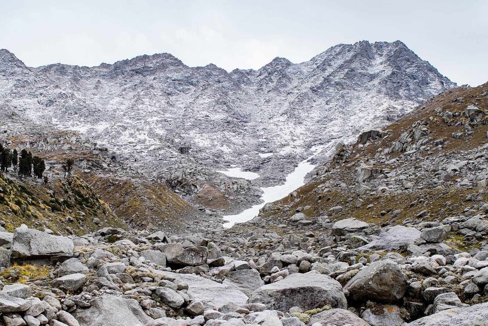
Indrahar Pass (approx. 4,342 m / 14,245 ft) is the high crossing of the Dhauladhar range directly above McLeod Ganj. The classic route climbs from McLeod Ganj via Triund, Snowline, Laka Got and the Lahesh caves to the pass, then either returns the same way or drops into the Chamba side via Chhata and Kuarsi. Out and back takes 3 to 4 days; the full crossing takes 4 to 5 days. It is a difficult, high-altitude trek with a steep boulder-and-scree summit day, and it is not a "Triund plus a bit".
The most important thing to know in 2026: in January 2026 the Kangra District Disaster Management Authority banned trekking above 3,000 m in the district, and routes such as Triund and Kareri were placed under a police-clearance requirement. Indrahar is well above that line. We have not been able to confirm whether this order has since been relaxed for the autumn season, so before you plan anything, confirm the current position with the office of the Superintendent of Police, Kangra, or with a registered local operator. If the ban is in force, you cannot legally go above Laka Got.
Indrahar Pass: Quick Facts
| Detail | Info |
|---|---|
| Highest point | Indrahar Pass, approx. 4,342 m |
| Start | McLeod Ganj (approx. 1,750 m) or Gallu Devi temple above Dharamkot (approx. 2,100 m) |
| Finish | Back to McLeod Ganj, or Kuarsi / Machhetar on the Chamba side |
| Duration | 3–4 days out and back; 4–5 days for the crossing |
| Distance | Approx. 30–35 km for the full crossing (varies by finish point) |
| Altitude gain on summit day | Approx. 800–1,000 m from Lahesh caves, plus the descent |
| Difficulty | Difficult; non-technical in good conditions, serious in bad weather |
| Best months | Late May–June and mid-September–October (subject to 2026 restrictions) |
| Avoid | July–August (monsoon, lightning, fog) and November–April (snow) |
| Mobile signal | Patchy at Triund, mostly absent beyond Laka Got |
| District rules | Kangra DDMA order of Jan 2026: trekking above 3,000 m banned; check status |
Who Should NOT Attempt Indrahar Pass
We would rather lose a booking than send the wrong person up this mountain. Do not attempt Indrahar if:
- Triund felt hard. If the 9 km walk to Triund left you exhausted, the summit day (8 to 12 hours of steep, loose terrain above 3,500 m) will be far harder.
- You have never been above about 3,500 m. Altitude sickness is common on this route because people climb fast from McLeod Ganj. Headaches, nausea and breathlessness at Lahesh are a signal to turn back, not push on.
- You are not comfortable on boulders and scree. The final section is a long boulder field with no clear path, and the descent is where most slips happen.
- You plan to go solo or without a local guide. People have gone missing in the upper Dhauladhar in recent seasons, including a foreign trekker in the Indrahar area in June 2025. Rescue is slow and helicopter support is not guaranteed.
- You have heart or lung conditions, uncontrolled blood pressure, or are pregnant.
- You only have one weekend. Indrahar needs buffer days for weather. If you have two days, do Triund or the Snowline and Laka Got trek instead.
If you tick none of these boxes and have done at least one multi-day Himalayan trek, Indrahar is one of the most rewarding passes in Himachal: on a clear morning you see the Kangra Valley on one side and the Pir Panjal and Mani Mahesh Kailash range on the other.
Route Stage by Stage
| Stage | From – To | Approx. distance | Altitude at end | Approx. time | Terrain |
|---|---|---|---|---|---|
| 1 | McLeod Ganj – Gallu Devi | 3–4 km (or drive to Dharamkot) | 2,100 m | 1–1.5 h | Village lanes, road |
| 2 | Gallu Devi – Triund | 6–7 km | 2,850 m | 3–4 h | Well-made trail, steep last 2 km |
| 3 | Triund – Snowline | 2–3 km | approx. 3,100–3,200 m | 1–1.5 h | Rocky ridge path |
| 4 | Snowline – Laka Got | approx. 1 km | approx. 3,350 m | 45 min–1 h | Boulders, rhododendron |
| 5 | Laka Got – Lahesh caves | 2–3 km | approx. 3,500–3,600 m | 2–3 h | Steep, loose, side streams |
| 6 | Lahesh caves – Indrahar Pass | 2–3 km | 4,342 m | 4–6 h up | Boulder field, scree, possible snow |
| 7a | Pass – back to Lahesh | 2–3 km | 3,500 m | 2–3 h down | Same as above, careful descent |
| 7b | Pass – Chhata (Chamba side) | 4–5 km | approx. 3,250 m | 3–4 h down | Steep descent, faint trail |
| 8 | Chhata – Kuarsi | 6–8 km | approx. 2,260 m | 4–5 h | Meadows, Gaddi trails |
| 9 | Kuarsi – Machhetar / road | 6–8 km | lower | 3–4 h | Village path to roadhead |
Distances and altitudes vary between maps and GPS tracks; treat them as planning figures, not exact values. The times are for a fit trekker with a day pack plus share of camping kit.
Day 1: McLeod Ganj to Triund (or Snowline)
Most groups walk or drive to Dharamkot and pick up the trail at Gallu Devi temple, then climb to Triund. The trail is busy and well-marked, with chai shacks and the forest checkpoint. See our complete Triund guide for this section in detail. Indrahar groups often push on to Snowline to shorten the next day, but sleeping at Triund is better for acclimatisation.
Day 2: Triund to Lahesh caves
Above Triund the crowds thin out quickly. The path climbs the ridge to Snowline, where a small seasonal shack has traditionally served tea and Maggi, then to Laka Got (Ilaqa Got), a bowl at the foot of the Laka glacier. From here the trail becomes a scramble: steep, rocky and crossing small streams that can swell in the afternoon. Lahesh caves are a cluster of rock overhangs used by Gaddi shepherds and trekkers as a camp. They are cold, damp and cramped, so a tent is more comfortable if there is flat ground. This is your last reliable water source before the pass.
Day 3: Summit day to Indrahar Pass
Leave Lahesh by 4 or 5 am. The climb is a relentless boulder and scree slope; early in the season it may be hard snow in the gullies. Small cairns and prayer flags mark the line, but in cloud it is very easy to drift off route. The pass itself is a narrow notch with a small shrine. Spend 20 to 30 minutes, then descend before clouds build, which in the Dhauladhar usually happens by late morning.
Turn-around rule: if you are not at the pass by about 11 am, or cloud is closing in, turn back. Afternoon thunderstorms and lightning on this exposed ridge are a real danger.
Option A: Return to McLeod Ganj
Descend to Lahesh or Laka Got for the night, then walk down to McLeod Ganj on day 4. This is the safer, simpler choice and avoids arranging transport from the Chamba side.
Option B: Cross to the Chamba side
The descent north of the pass is steeper and less trodden. Groups usually camp at Chhata (rock shelters and meadow) and continue through Gaddi grazing grounds to Kuarsi village, then down to the road near Machhetar, from where you need a jeep or taxi towards Holi or Chamba town. Arrange the pick-up in advance through your operator, as phone signal is unreliable. The drive back to Dharamshala from Chamba is long (approx. 6 to 8 hours via Banikhet and Nurpur), so budget an extra day. Do not attempt the crossing without someone who has done it; the Chamba-side trail is faint in places and the valleys are confusing.
Difficulty, Honestly
| Factor | Rating | Why |
|---|---|---|
| Fitness | High | Long days, 1,000 m+ gains, heavy descent |
| Technical | Low–moderate | No ropes in season, but constant boulder hopping |
| Altitude | High | Rapid gain from 1,750 m to 4,342 m in 2–3 days |
| Navigation | Moderate–high | Faint above Lahesh and on the Chamba side |
| Weather exposure | High | Exposed ridge, sudden storms, early-season snow |
Compared with Kareri Lake (easy to moderate, 2,934 m), Indrahar is a big step up. Compared with famous moderate Himachal passes, it is shorter but steeper and more exposed.
Best Season
- Late May to June: long days and stable mornings. Snow may still lie on the upper slopes, which can make the pass easier to walk on but colder and riskier without microspikes.
- July to August: avoid. Monsoon fog, lightning and swollen streams make Lahesh and the pass dangerous, and district authorities have often restricted high treks during heavy rain.
- Mid-September to October: the best visibility of the year after the monsoon clears. Nights at Lahesh drop below freezing by October. The 2026 monsoon caused damage across Kangra district, so ask about trail and road conditions.
- November to April: snowbound; a winter expedition, not a trek.
Read our best time to visit Dharamshala guide for month-by-month weather in the valley.
Permits, Fees and Rules (Verify Before You Go)
- Kangra DDMA order (January 2026): a ban on trekking above 3,000 m in Kangra district, issued for safety and unpredictable weather, with permission for routes such as Triund and Kareri routed through the Superintendent of Police, Kangra. Permissions are automatically cancelled when weather warnings are issued. Disaster response teams and the Mountaineering Centre in McLeod Ganj are exempt. We could not confirm whether the order has been lifted or modified since; check locally before you plan.
- Forest entry fee at the Triund checkpoint: a per-person forest and eco-tourism fee is collected; the amount has changed several times, so check at the checkpost.
- Carry-back waste deposit: from 11 August 2026, trekkers on the Triund route pay a refundable ₹500 deposit at the forest checkpost and receive a garbage bag; the deposit is refunded when you bring your non-biodegradable waste back down. Repeat violators can be blacklisted.
- Chamba-side permits: no separate permit is generally needed to descend into Chamba district, but ask your operator, as rules for camping in forest areas can differ.
- Carry photo ID and register your trek plan with your guesthouse and operator.
Camping, Water and Food
- Camps: Triund, Snowline/Laka Got, Lahesh caves and Chhata are the usual sites. There are no lodges above Triund.
- Water: streams at Laka Got and around Lahesh; carry a filter or purification tablets. Above Lahesh there is no water on summit day, so leave with 2 to 3 litres.
- Food: seasonal shacks at Triund and Snowline sell basic food, but above Laka Got you carry everything. Guided groups bring a cook and porters or mules for the lower section.
- Waste: carry every wrapper back down. Lahesh is already littered with old food packets and gas canisters.
Guides, Porters and Costs
A local guide is strongly recommended and, given the 2026 rules, likely to be the practical way to get clearance at all. As of 2026, expect approx. ₹10,000 to ₹20,000 per person for a guided 3 to 5 day Indrahar trip with tents, meals and guide, depending on group size and whether you cross to Chamba. Private guide-only rates are lower but you then carry your own kit. Ask any operator: Have you crossed this season? What is your turn-around policy? Do you carry a first-aid kit and an emergency contact plan?
Browse our guided treks or contact us for a current briefing on conditions and permissions.
Safety and Weather
- Acclimatise: sleep at Triund, not straight at Lahesh. Drink plenty of water. If you have a headache that does not ease with rest and fluids, go down.
- Start early every day. Dhauladhar weather follows a pattern of clear mornings and cloudy, stormy afternoons, especially in May and June.
- Lightning: if a storm arrives on the ridge, get off high ground, away from isolated rocks, and crouch on your pack.
- Rockfall: keep spacing on scree and never stand directly below another group.
- Navigation: carry an offline map with a GPS track, but do not rely on it in whiteout. A local guide is the real safety net.
- Emergencies: the national emergency number 112 works where there is signal. Leave a written plan and expected return time with your hotel in McLeod Ganj.
What to Pack
| Category | Essentials |
|---|---|
| Footwear | Ankle-high trekking boots with good grip; microspikes in May–early June and October |
| Clothing | Thermal base layers, fleece, down jacket, waterproof shell and trousers, warm hat, gloves |
| Sleeping | Sleeping bag rated to about -5 °C, insulated mat |
| Navigation | Offline map, power bank, headlamp with spare batteries |
| Health | Personal medicines, blister kit, sunscreen SPF 50, UV sunglasses, lip balm |
| Water | 2–3 litre capacity, filter or tablets |
| Other | Trekking poles, rain cover, trash bag, photo ID, cash |
Our weather and packing guide covers clothing for the town end of the trip.
Mistakes to Avoid
- Treating it as a weekend trek. Rushing straight to Lahesh on day one is how people get altitude sickness.
- Ignoring district orders. A clearance or ban is not a formality; rescue teams are already stretched.
- Going in cotton and sneakers. Wet cotton at 4,000 m is dangerous.
- Starting summit day late. A 7 am start almost guarantees cloud on the pass.
- Crossing to Chamba without a pick-up plan. You can be stuck at Kuarsi for a day waiting for a jeep.
- Leaving rubbish in the caves. It is now also costly, thanks to the ₹500 deposit.
Where to Stay Before and After
Stay in Dharamkot or upper McLeod Ganj the night before for a quick start, and plan a comfortable bed afterwards. Browse hotels and guesthouses or see our best hotels in McLeod Ganj. For general booking questions, see our FAQ.
Frequently Asked Questions
Is the Indrahar Pass trek open in 2026?
How difficult is Indrahar Pass?
How many days does the Indrahar Pass trek take?
Can I do Indrahar Pass without a guide?
Is there water on the Indrahar Pass trail?
More answers on our Dharamshala travel Q&A page.
Need Help Planning Your Dharamshala Trip?
Our local team can help with hotels, treks, taxis, and custom itineraries.
Related Guides
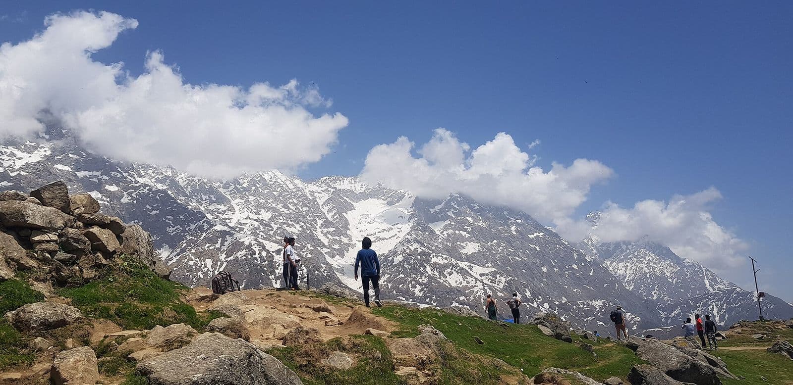
Triund Trek: The Complete Guide for 2026
Everything you need for Triund -- route details, permits, camping tips, packing list, and insider advice from local guides.
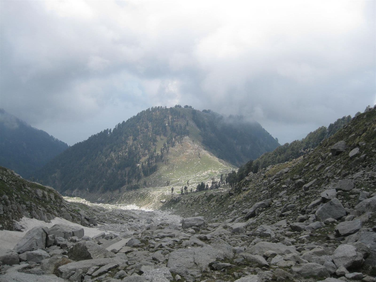
Snowline & Laka Glacier Trek from Triund: Day or Overnight Guide (2026)
How to extend Triund to Snowline and Laka Got below the Laka glacier: distances, altitudes, timings, day versus overnight plans, the 2026 rules above 3,000 m, and safety tips.
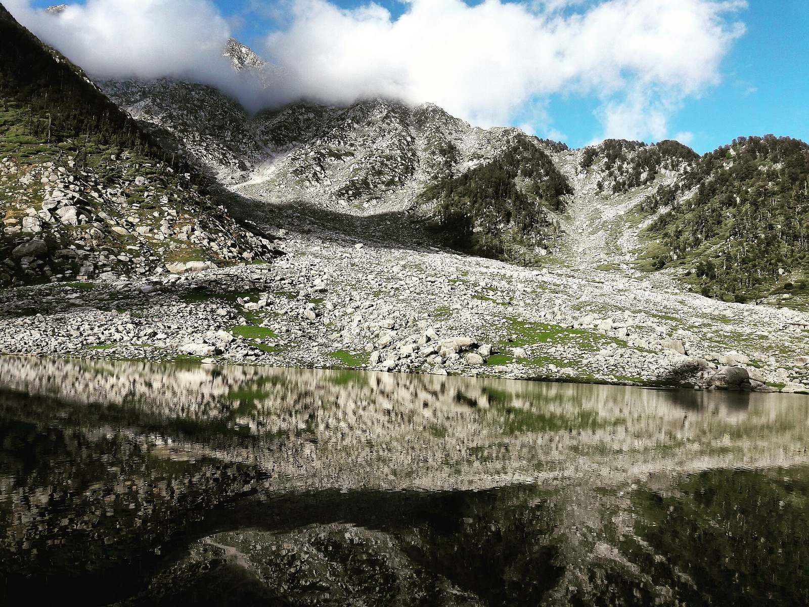
Kareri Lake Trek Guide: Route, Distance, Best Season & Tips (2026)
Everything you need for the Kareri Lake trek near Dharamshala: the route from Kareri village via Reoti, distances, altitude, difficulty, best months, permits, camping and safety.
Triund Camping Guide 2026: Rules, Fees, Tents & What to Expect
Everything about camping overnight at Triund in 2026: the current rules and fees, the new ₹500 waste deposit, tents versus the forest rest house, sunset and sunrise, cold, toilets, water, animals and winter snow.